GOONDIWINDI REGIONAL COUNCIL DOUBTS ARTC PROCESS
« Back3 April 2019
GOONDIWINDI REGIONAL COUNCIL DOUBTS ARTC PROCESS
Goondiwindi Regional Council Mayor Graeme Scheu has expressed concern that the criteria used to determine the Inland Rail route through the region is flawed and that the impact may lead to unprecedented floods.
The Australian Rail Track Corporation (ARTC) is undertaking an independent review of the North Star to NSW/QLD Border (NS2B) section alignment recommendation, but Cr Scheu fears it will come up with nothing.
He released the following statement today:
“The review will simply show that the criteria set under the Multi-Criteria Analysis (MCA) report has been followed.
What it will not show is that this council, along with many landholders, believe are a number of deficiency in those criteria.
A flawed process and outdated information have been used to make decisions on this critical infrastructure.
The original decision signed off by the then Infrastructure and Transport Minister Darren Chester was simply not acceptable to us. Since being advised of the Minister’s decision, we have come across mistake after mistake, and it is hard to believe that all of the concerns of the region were relayed to the Minister prior to his decision.
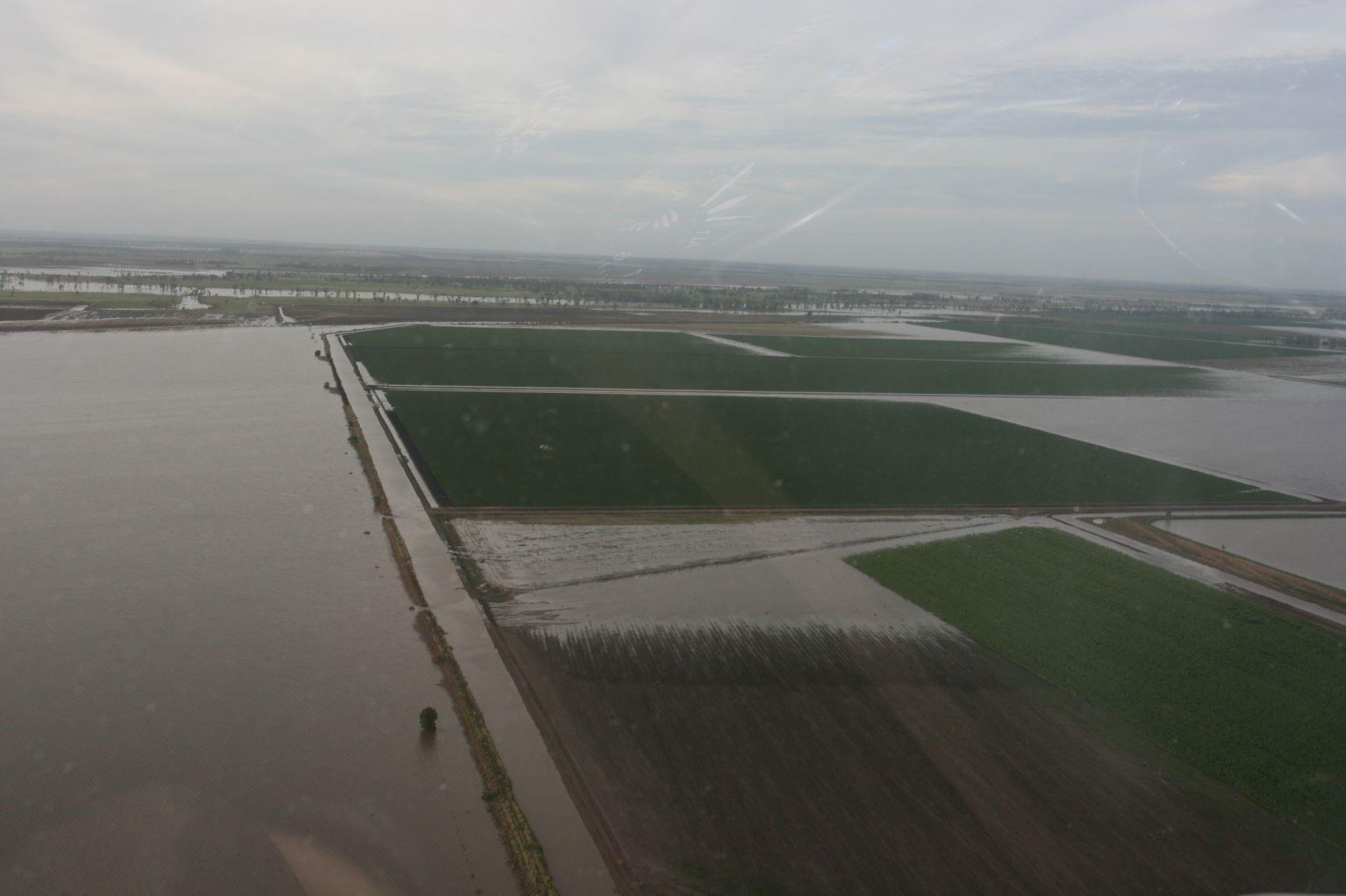
Here we have one of the nation’s greatest infrastructure projects crossing one of the largest floodplains on the eastern seaboard - and the flooding criteria holds a weighting of just 2.5% of the total project. When asked why this was the case, the ARTC’s reply was there was a standard template used in order to maintain consistency over each sector. This is absurd.
That criteria might be fine for a rail line crossing the Nullarbor, but surely in this case the weighting is totally inadequate. Flooding in this region has a huge impact on the agricultural economy, our homes and lives and it deserves more than a 2.5% weighting. No one can tell us if the fears of locals in this regard have been relayed to the Minister’s office. I suggest not.
Another example of the mistakes made in the ARTC’s process is that 1976 flood mapping was used, which covered a largely undeveloped floodplain. Admittedly, the current proposed modelling does increase the flood flows to include recent flood events, but it is a flawed exercise given the development that occurred between 1976 and now. The flood mapping had water flowing over areas that it simply cannot cover due to approved levees.
From the outset, we have been told that community consultation is paramount. Yet when Council put forward the names of three local flood experts, those people where never contacted. In fact, the ARTC is only meeting with two of them this month and that is only at the insistence of the new project team that have taken over from the now totally replaced team.
This has become the problem for the new team that have now been appointed to this sector. It is certainly not their doing but they have one hell of a job untangling the mess that has been presented to them.
I fear a decision has already been made and that ARTC is going to engineer its way out of any problem to justify the original decision. We all know that you can do anything with engineering but it comes at a cost - likely millions of taxpayer dollars.
The day that the NS2B alignment was announced, I stated that the only acceptable solution to the flooding issuing would be an elevated bridge from Eukabilla Lane on the Queensland side to Wearne on the New South Wales side and to this day I stand by that statement.
The whole system is flawed. Just as with the NSW Farmers Association, who appear to be facing similar troubles on the Narromine to Narrabri (N2N) sector, we need action from anyone who is prepared to listen.
While the NS2B alignment is not in our local government area, the effects of the decision have a direct bearing on Goondiwindi and other towns for that matter. We have three concerns:
- The unprecedented flooding impact on Goondiwindi, Boggabilla and Toomelah
- The potential that flood water from the Macintyre River may be redistributed out of the main Macintyre River stream and eventually into another system
- Possible economic loss to local businesses by not coming closer to Goondiwindi and insisting that private enterprise needs to invest in feeder spur lines to join the Inland Rail.
If these concerns are not addressed soon, it will be too late.
Just about everybody I speak to tells me that it is impossible to give final answers on flooding affects until final design is completed, but by then it is far too late and has real potential to blow out costs to retrofit a solution.
The cart is well and truly before the horse here and I fear it will come back to bite us in the long run.
We live on a major floodplain, which in 2011 only one of three rivers flooded and a volume of 476,000 mega litres hit the junction in 24 hours from the Dumaresq River. This caused the Macintyre River to flow backwards. Likewise in 1976, a similar result but this time it was the Macintyre Brook only that flowed.
The Grantham events of 2011 resulted in catastrophic loss of life, homes and livelihoods. If that rainfall had happened 100 km west (on the other side of the range), it could have easily been our region devastated by the flooding. Only two weeks ago, the town of Goondiwindi received 210mm of rain in 5 hours. Fortunately, this was fairly localised, but all of this highlights that the weighting of 2.5% given to flooding is simply not good enough.
We need this infrastructure to be completed but it needs to be constructed in the right place.”
For more information, please contact:
Councillor Graeme Scheu
Mayor
Goondiwindi Regional Council
Mobile: 0427 718 877
Email: gscheu@grc.qld.gov.au